Ranch-X
Consult, develop, and implement plans to fulfill the owners perspective
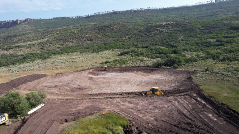
When an individual purchases a ranch, he is buying a job. That job can range from maintaining a beautiful property to substantially restoring, constructing, or mitigating that property. Ranch-X comes alongside owners to bring each property to its highest and best use, while maintaining the attributes that originally attracted the buyer to the ranch. Ranch-X uses these geo-spatial tools to implement long-term, strategic ranch improvement programs. Here, Ranch-X serves as advisor to clients, ensuring that land professionals and service providers are operating toward a common goal. This removes the burden from the owners, who often live out-of-state, and places it on the shoulders of a dedicated local team. In this regard, we have overseen development operations, constructed property defining features, waded through complex issues, and mitigated decades worth of mismanagement.
Our projects often go beyond solving immediate problems to enhancing a property’s value. After looking at the multiple layers of a property (topography, water, wildlife, access, etc.), our team creates a proposal to bring the property to its highest and best use, whether that means pulling together smaller parcels into one grand landscape with lots of elbow room and “scope for the imagination”, or dividing a large parcel into smaller pieces, effectively increasing the overall value of the property in future sales. Likewise, drilling wells and installing a network of cisterns can turn ordinary tracts into high-value homebuilding sites. These recommendations, when implemented, satisfy an inventory-starved market, increase potential agricultural and crop production, and provide owners with the best possible return on their investment, a true win-win-win solution.

Land Information Systems
Technical excellence through data collection
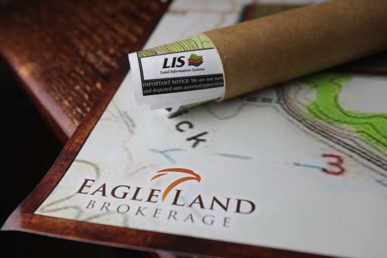
Land Information Systems is a mapping company driven by data collection and statistical analysis. Our key focus is personalized GIS (Geographic Information Systems). GIS allows us to visually display the intricate aspects of water rights, title issues, access easements, property leases, mineral issues, and boundary lines of the subject property. These maps can be highly specialized and display pertinent information. This data is a key element of management and development. Additional contract work is available to locate ranch asset and perform data analysis. LIS works hand in hand with Ranch-X as a key component in consulting.

